Loop 1
Greg and Stacy Kline, Michelle Brougher, and Shai Sprung rode the 600k staff ride last weekend. I joined them for the first 200k. We have a number of helpful observations and safety tips for you.We started at the civilized time of 6:30 am and were surprised that it was a chilly 50F so out came the vests and leg warmers. The sun was almost up so we didn't need lights, but we always ride with daylight-visible lights anyway. As soon as we hit the SART we picked up a light tail wind.
The sun was just rising as we crossed Katella at 7:10 and the gates were unlocked which is why we started at 6:30.
 |
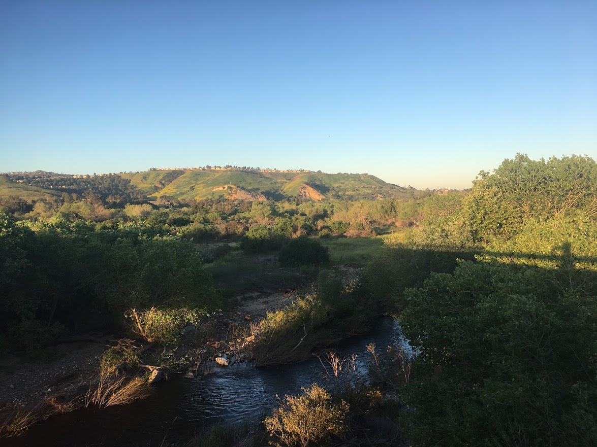
| Crossing the river alongside Katella |
 |
| An hour into the ride and Shai's new saddle is bothering him |
We stopped briefly at the first control but rode on to The Crema in Seal Beach where we bought ham and brie baguettes, including a spare for the next control. It really hit the spot and we were on the road again in good time. Remember, you can stop where ever you want but you still need proof of passage at each control.
 |
| The Crema |
The weather warmed up quickly so riding along the bike path in the sun with a gentle headwind (that was weird) was very pleasant. The entire first 200k loop is mostly free of storm damage, debris, mud, and sand.
 |
| San Gabriel bike trail |
As we rode the dirt transition from the San Gabriel to the Rio Hondo trails we found the only remaining storm damage on this loop which is an unavoidable hole next to a pole that we walked the bikes over. It occurs to me that if anyone (Dana) is riding a trike or other wide vehicle, this dirt section would need extra care.
Once on the Rio Hondo we had a light tailwind to within two miles of Long Beach. Such benevolent wind conditions are very unusual on this route.
Here's the turn off of the Los Angeles river trail into Long Beach Marina.
If you keep the water to your right through here, you should be fine. The Long Beach Grand Prix is the week after the Triple Loop so there may be some barriers up, but nothing that will prevent you getting through. You are sharing the boardwalk with pedestrians who aren't expecting you so please ride carefully.
We stopped at Chronic Tacos which was wonderful as usual and still had a gentle tail/crosswind as we continued South on the coast to the info control just after the turn onto the SART.
Then the crosswind became a tailwind that stayed with us all the way back to the hotel. This was not necessarily a good thing! We had 9:15 for the first 200k - faster than I had wanted to go.
Loop 2
After a 15 minute stop at the hotel to eat (Shai is a hard taskmaster) we headed out into that tailwind which, of course, was now a headwind. At this point it was only Greg, Stacy, Michelle, and Shai. It dropped to 40F later on this loop so head out with plenty of warm gear.The climb up Santiago Canyon was still pretty warm and at times it was into a headwind. Navigation on the Aliso Creek trail was challenging even though all the riders completed it in daylight. Some of you will still be on this trail after darkness falls so you really need to pay close attention until you reach the first control of the loop.
 |
| Aliso Creek bike trail |
If you have any sense of direction (or a Garmin) you will be fine.
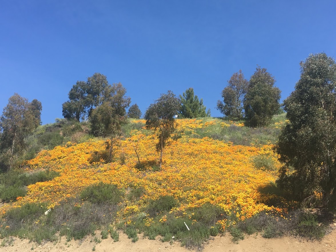
I recommend researching the Crown Valley control before the ride based on when you expect to be there. Pick out where you want to eat and know when it closes in case you get there later and need to fall back on the gas stations.
 |
| It's going to be hot tomorrow, so... |
You should also decide, before the ride, which route you want to take through San Clemente (see the ride notes on the website). If you are not familiar with the area I would recommend staying on the official route, but ultimately it's up to you.
The turn around at the end of the San Onofre state park is an info control. It involves reading one of the many signs on the fence. Hopefully the question is not too mentally challenging. There are many restrooms and water options in the park but your next food option is seven miles away.
The turn onto the San Juan creek trail at mile 78.7 is very easy to miss if you're not paying attention. You're going to be climbing 1500' in the next 20 miles although only the last three miles could be called steep. The top of Santiago Canyon and the descent will be very cold. Forty Fahrenheit on a 30 mph descent feels like 28F. At mile 119 on this loop the gate onto the SART was closed so all the riders had to take the detour on La Palma. At 4am there wasn't much traffic.
Loop 3
After a few hours sleep the riders left between 6am and 7am even though the control doesn't close until 9:30. This created an unforeseen problem as the sun was in their eyes as they rode through Norco which means it was in the eyes of cars trying to pass them. Please be sure to have daylight-visible flashing tail lights on if you find yourself riding into the rising or setting sun.The sign at Crestview and Arlington at mile 20.7 on this loop has been changed from "Arlington" to "North".
At this time there are still a few sections of the upper SART with sand and dried mud, and the big puddle from last week is now a slightly damp mud patch.
Sunday was destined to get even hotter than Saturday with a Santa Ana wind developing later in the day. I met Michelle at the Chevron at the mile 41 control as she was getting lonely, but not lonely enough to appreciate the creepy gas station attendant there! Note the Chevron restroom is permanently "Out of Order" and 7-11s don't have restrooms. Your only restroom option at this control is the G&M.
 |
| Sand Canyon |
Upon turning around the riders found themselves descending 1250' in 15 miles with a roaring tailwind. Everyone loved it except Shai who was riding his new super-light fixie. He didn't enjoy it at all because his legs couldn't keep up. Depending on the time, you may find yourself descending San Timeteo into the setting sun, so be visible if that happens.
 |
| Darn train! |
Shai got back to the hotel first, followed by Michelle a bit later, and Greg and Stacy arrived with a comfortable 45 minute buffer. Everyone agreed this route gives a good feel for how difficult PBP is, but we were a bit unlucky with the heat and wind.
 |
| Los Endos |
A page of photographs from the pre-ride is here.
Here's your weather forecast for ride HQ. Looks pretty good right now.

This comment has been removed by the author.
ReplyDeleteAnother wonderful cycling adventure story from the amazing Terry Hutt! Thanks for putting on such a wonderful event, Terry, you are the best!
ReplyDeleteThe ice cream stop happened due to a late night flat in San Clemente (you can see Greg fixing the tire in the background). How lucky to have a flat in front of an open-late Baskin Robbins! :)
Thanks for hosting this ride Terry.
ReplyDeleteIt's a very well designed 600K that somehow manages to be mostly low traffic or even no traffic in So. Cal.